Sarasota Aerial Storyboard

Round-2 scout, 2026-08-31 — Ringling Bridge, Marina Jack, Siesta Key, Venice Island. Frames captured in Google Earth 3D; each card links the exact camera URL. DJI Mavic 2 Pro · Litchi missions.

400 ft (120 m) AGL cap · SRQ Class C over Ringling / Marina Jack / Siesta → LAANC via Aloft · Venice: check B4UFLY · Part 107 for marketing use · VLOS · flotation over water.
Ringling Hero
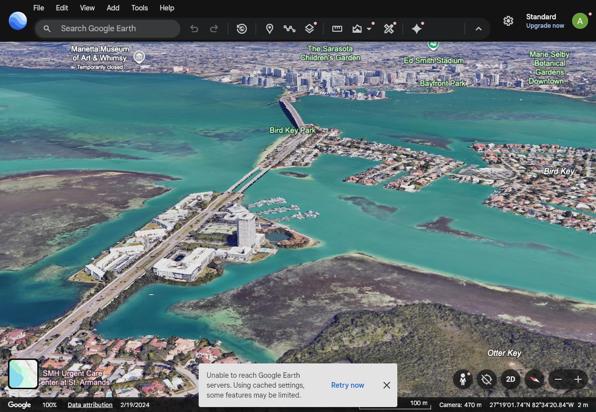
Shot 7 · John Ringling Causeway

Ringling Hero

27.32200, -82.56700 · 45° NE · tilt 73° · Golden hour (pre-sunset)

Causeway leading line over Bird Key Park straight into the downtown skyline. The flagship frame of round 2.
~470 m sim — fly ≤120 m, much closer
Open camera in Google Earth ↗
Ringling Close
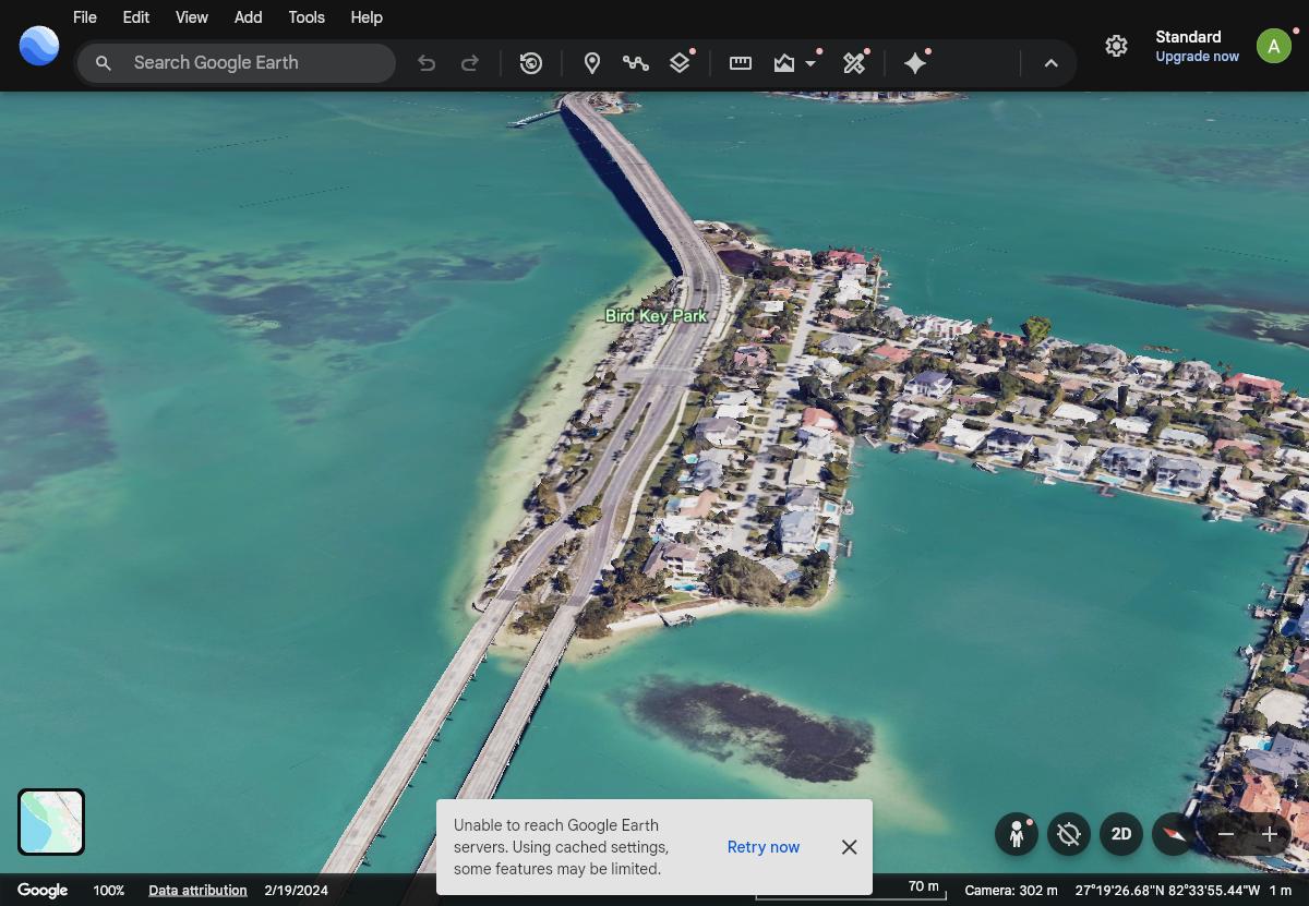
Shot 8 · Bird Key Park

Ringling Close

27.32600, -82.56300 · 48° NE · tilt 68° · Golden hour

Bridge deck crossing Bird Key Park, span exiting frame top. Tighter companion to the hero.
~302 m sim — fly ≤120 m
Open camera in Google Earth ↗
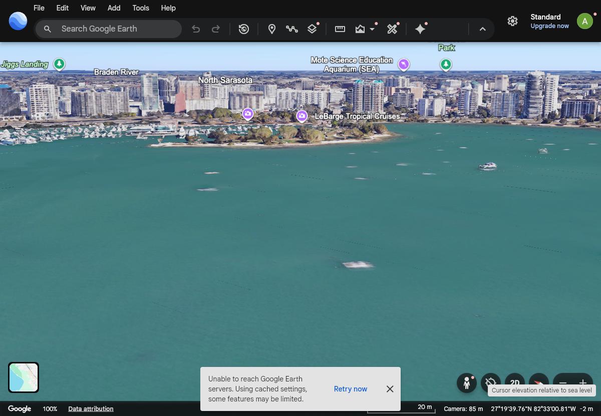
Marina Jack — 85 m
Shot 9 · Downtown Bayfront · FLYABLE AS-IS

Marina Jack — 85 m

27.32900, -82.54850 · 50° NE · tilt 78° · Golden hour

Marina basin, Bayfront Park and the skyline from 85 m over the bay. The only scouted frame flyable exactly as simulated.
85 m sim — LEGAL AS-IS ✅
Open camera in Google Earth ↗
Bayfront Panorama
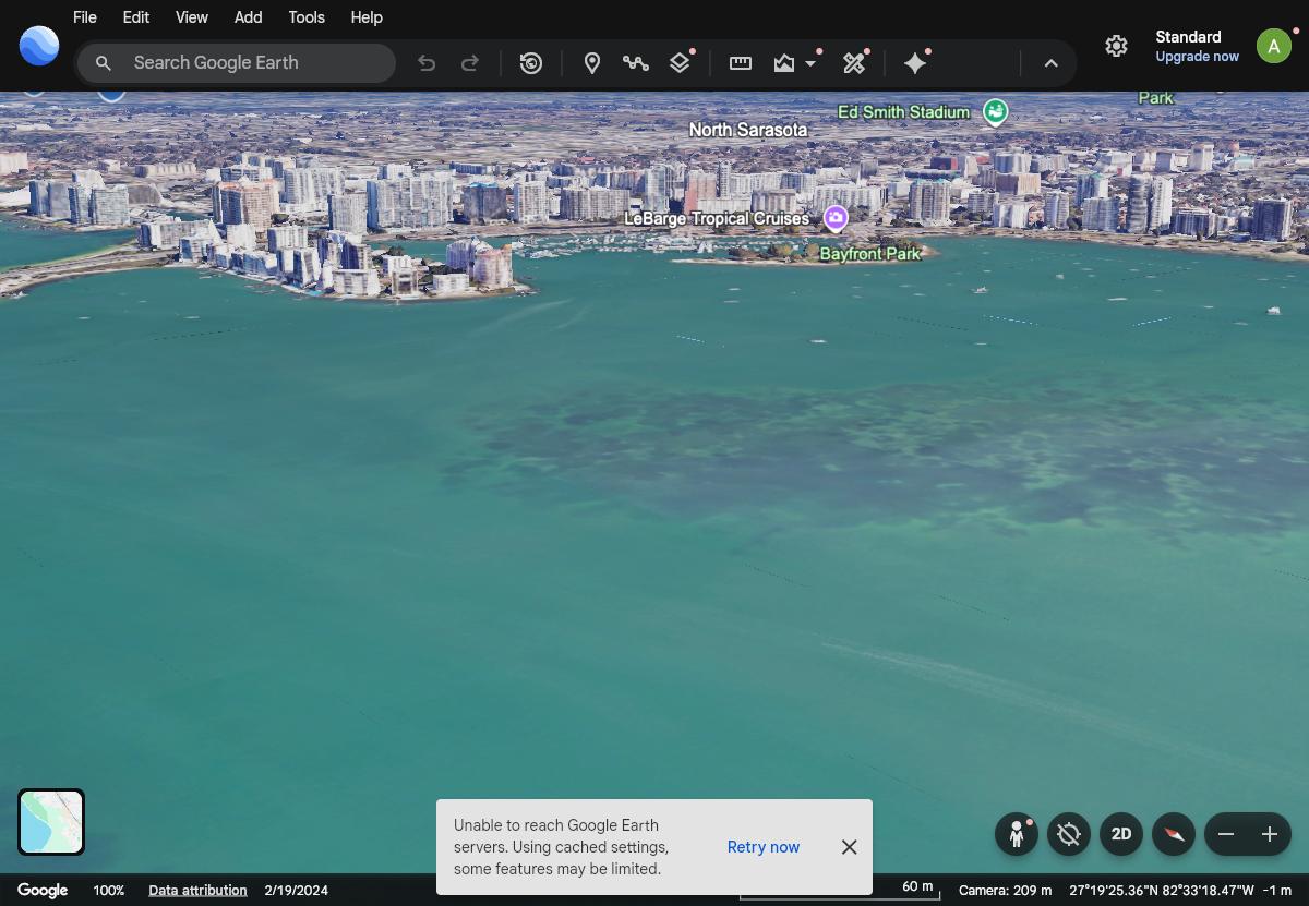
Shot 10 · Sarasota Bay

Bayfront Panorama

27.32650, -82.55250 · 40° NE · tilt 75° · Golden hour

Full skyline ribbon across the horizon with open bay foreground. Wide establishing shot.
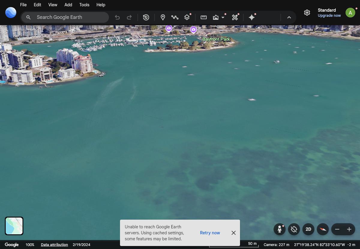
~209 m sim — fly ≤120 m
Open camera in Google Earth ↗
Golden Gate Point
Shot 11 · Sarasota Bay

Golden Gate Point

27.32850, -82.55100 · 55° NE · tilt 68° · Golden hour

Golden Gate Point condos and the marina basin from mid-bay.
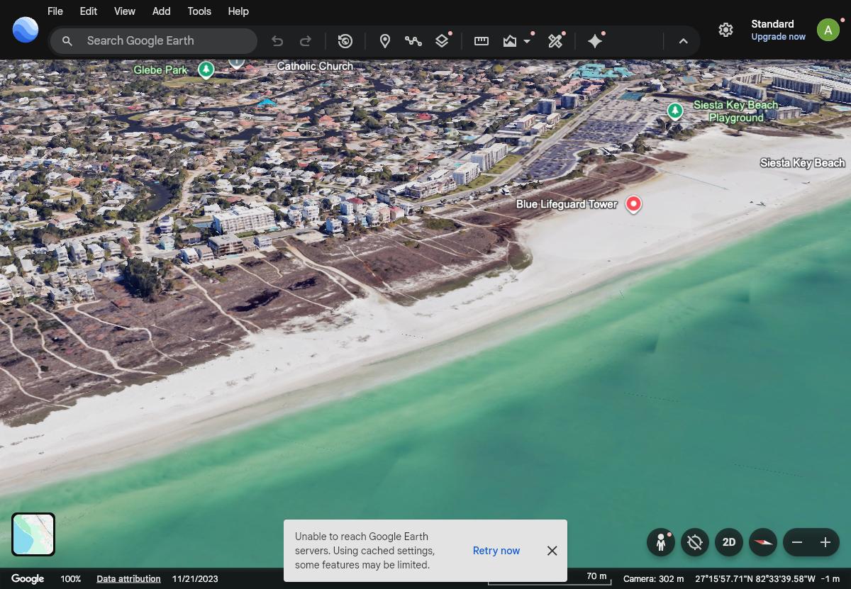
~227 m sim — fly ≤120 m
Open camera in Google Earth ↗
Siesta Turquoise
Shot 12 · Siesta Key

Siesta Turquoise

27.26700, -82.55800 · 70° E · tilt 68° · Midday–early PM (water saturation)

Gulf turquoise foreground, white-sand diagonal, Siesta Beach and village behind.
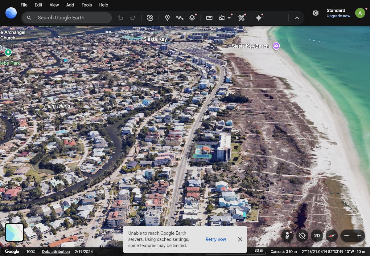
~302 m sim — fly ≤120 m
Open camera in Google Earth ↗
Siesta Shoreline Strip
Shot 13 · Siesta Key

Siesta Shoreline Strip

27.27100, -82.56000 · 115° SE · tilt 70° · Morning

Dunes, condo line and village canals running north along the sand.
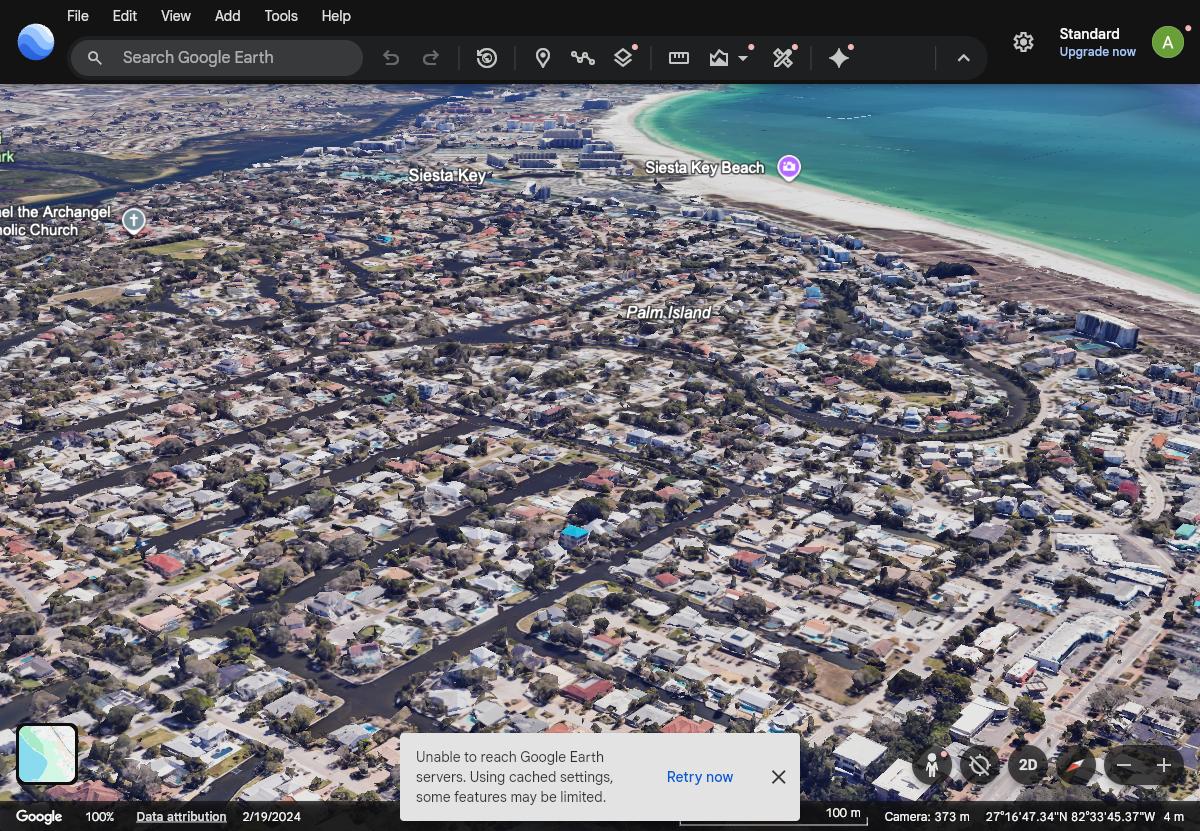
~310 m sim — fly ≤120 m
Open camera in Google Earth ↗
Siesta Village Canals
Shot 14 · Siesta Key / Palm Island

Siesta Village Canals

27.27600, -82.55900 · 140° SE · tilt 72° · Morning

Palm Island canal maze with the beach edge on the left.
~373 m sim — fly ≤120 m
Open camera in Google Earth ↗
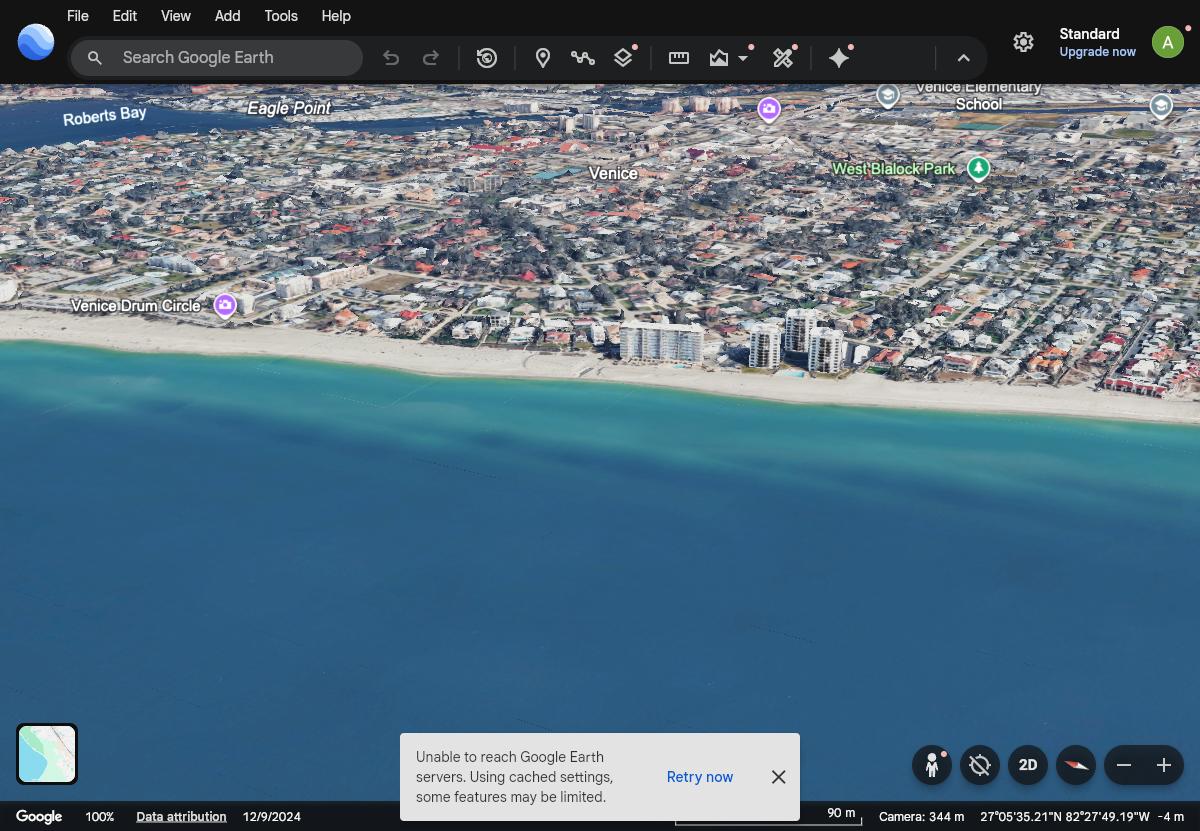
Venice Beachfront
Shot 15 · Venice Island

Venice Beachfront

27.09500, -82.46000 · 60° NE · tilt 70° · Late afternoon

Drum-circle beach and the Venice town grid from over the gulf.
~344 m sim — fly ≤120 m
Open camera in Google Earth ↗
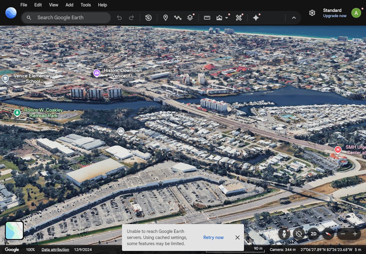
Venice Waterway
Shot 16 · Venice Island / Intracoastal

Venice Waterway

27.10500, -82.44300 · 225° SW · tilt 70° · Sunset (faces gulf)

Intracoastal bend, marina and historic downtown with the gulf on the horizon.

~344 m sim — fly ≤120 m
Open camera in Google Earth ↗